GPS INTERFACING WITH ARDUINO
Every single location in the entire globe can be specified in terms of geographical coordinates. In this project, I have shown how to interface a GPS module with Arduino UNO. The data for longitude and latitude is displayed on the LCD.
Synopsis

GPS stands for Global Positioning System and used to detect the Latitude and Longitude of any location on the Earth, with exact UTC time (Universal Time Coordinated). This device receives the coordinates from the satellite for each and every second, with time and date. GPS offers great accuracy and also provides other data besides position coordinates.

In this project, I have shown how to interface a GPS module with Arduino UNO. The data for longitude and latitude is displayed on the LCD.

Description

Every single location in the entire globe can be specified in terms of geographical coordinates. The geographical coordinate is a system which specifies any given location on the earth surface as latitude and longitude. There are devices which can read the geographical coordinates of a place with the help of the signals received from a number of satellites orbiting the earth. The system of satellites which helps in the positioning of a place is called Global Positioning System (GPS). The devices which can read the geographical coordinates of a place with the help of at least four GPS satellites are called GPS Receiver or simply GPS module.

The GPS module continuously produces a set of data regarding the position of the earth surface where it is situated which includes the current position with respect to the equator of the earth in terms of Latitude and Longitude. This data can be decoded and printed into the readable format with the help of a microcontroller only. In this project the data regarding the geographical coordinate is extracted from the GPS output with the help of the Arduino. The Arduino can be used as a stand-alone board of which the output or inputs can be taken from the boards or given to the board. They can communicate using standard communication ports like USART, TWI, SPI etc. which enables them to be connected with various kinds of devices. The Arduino board is designed for easy prototyping and the IDE used for coding is very simple and provides so many libraries for interfacing with common external devices.

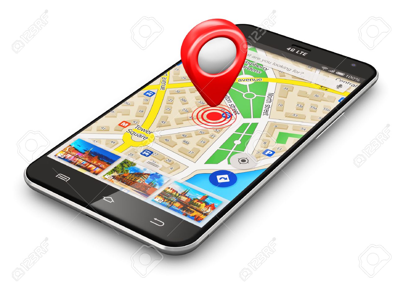
GPS interfacing with Arduino


GPS satellites transmit at least 2 low-power radio signals. The signals travel by line of sight, meaning they will pass through clouds, glass and plastic but will not go through most solid objects, such as buildings and mountains. However, modern receivers are more sensitive and can usually track through houses.

A GPS signal contains 3 different types of information:

1. Pseudorandom code is an I.D. code that identifies which satellite is transmitting information. You can see which satellites you are getting signals from on your device's satellite page.

2. Ephemeris data is needed to determine a satellite's position and gives important information about the health of a satellite, current date and time.

3. Almanac data tells the GPS receiver where each GPS satellite should be at any time throughout the day and shows the orbital information for that satellite and every other satellite in the system.

Applications

GPS is a very useful device which is used in many electronics projects and applications:

>> Vehicle tracking system

>> GPS Clock

>> Accident Detection Alert System

>> Traffic navigation and

>> Surveillance system etc

Error message here!

Show Error message here!


Forgot your password?

Error message here!

Send OTP

Error message here!

Show Error message here!


Lost your password? Please enter your email address. You will receive a password you Need.

Send Error message here!


Back to log-in

Close